The place20.227°N 84.124°E

Sarangada

A village on one market road in the hills of Kandhamal. This is what is known about the ground under it, four notes on living on it, and what nobody has written down yet.

Kandhamal, in the monsoonAug 2025

The ground record

What the data says, before anyone says anything about it.

Where
Sarangada, Nuagaon Block, Kandhamal, OdishaPincode 762106
Coordinates
20.227°N, 84.124°EApproximate village centre
Setting
The Eastern Ghats belt of OdishaOne of the most heavily forested districts in the state
Shape
A linear village along one market roadRoughly east to west, about a kilometre long
The way in
From the south, the Baliguda sideThe road branches into an upper and a lower market
East
Open cultivated landThe sunrise side
West
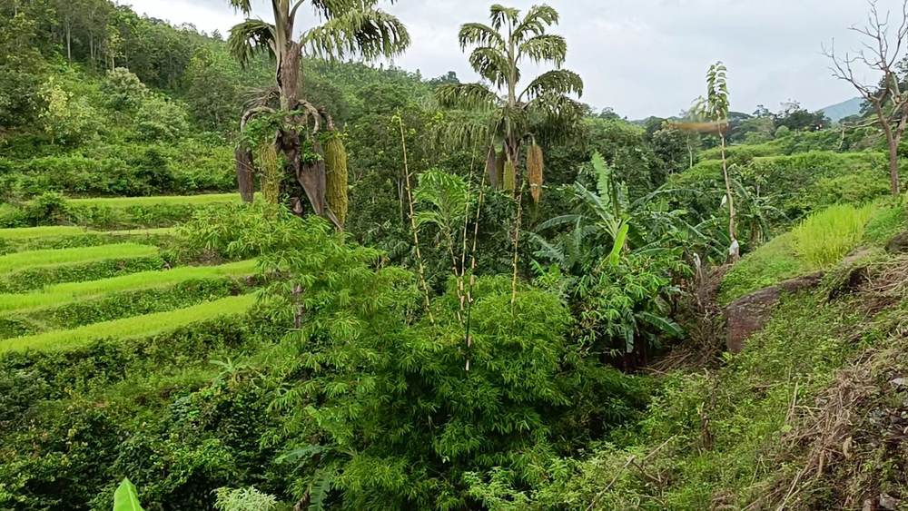
Hills and valleys, scrub and forestThe sunset side. The ground rises to the south-west
Ground
A pedimentGently sloping land at the foot of higher ground
Soil
Deep, fine-textured, clay-richClassed as highly productive; moderately prone to erosion
Flood hazard
None at any of six sampled pointsA sample, not a guarantee
Turmeric
Sarangada does not grow itKandhamal Haladi carries a GI tag, and the block is inside its zone
On the map
Barely thereOpenStreetMap shows the main road and little else

Sources: ISRO Bhuvan “Know Your Resources” and NRSC thematic layers, six points sampled April 2026; a resident’s description; the Kandhamal Haladi GI registration.
Notes from the village

Four things worth knowing before you arrive.

Note I

What maati means

Maati means soil. It also means the place you are from.

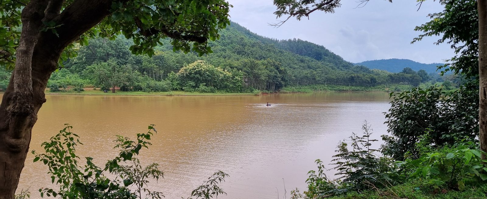
The soil here is red, full of iron. Under the red there is clay, and the clay holds monsoon water long enough for paddy to grow. Kandhamal’s turmeric grows on this kind of ground in the district around us. Sarangada itself does not grow it.

The village sits on a gentle slope at the foot of the hills, and the ground holds. Six points sampled across it returned no flood hazard.

Katha means story. The soil has one. You have to stay a while to hear it.

Note II

A mixed village

Sarangada is not a tribal village. It is not a non-tribal village either. It is mixed, the way most villages in Kandhamal actually are.

Kondh families, who were here first. Brahmin and Kshatriya families who came later. Christian families whose churches stand near the older shrines.

Kandhamal has had hard years. We will not pretend otherwise. But the well is the same well, the road is the same road, and the monsoon arrives on everyone at once.

Note III

Old and new, side by side

A mud wall holding up a metal roof. A wooden plough next to an electric borewell. Food cooked on a chulha, served on a leaf plate, photographed on a phone.

That is not a contradiction. That is what a working village looks like in 2026. Both roofs kept the rain out. One cost less.

So when you come, do not photograph only the old parts. The power lines over the field at sunset are in the picture too.

Note IV

The first morning

You will wake up before you are ready. Roosters, voices, someone lighting a chulha down the road.

You will step outside before you have had tea. The air smells of woodsmoke and wet earth.

Then someone hands you tea. It is too sweet. You drink it anyway.

Not known yet

What the satellite cannot answer. Fieldwork will.

  • The name and the history of the tank near the southern entry.
  • Where the paths into the western hills actually go, and who uses them.
  • Where Sarangada’s land ends and the next village’s begins.
  • When the village was founded, and by which families first.
  • The local names for the hills to the south-west, and the stories that go with them.
  • The lanes, the school and the tank, mapped on foot and put on OpenStreetMap for the first time.